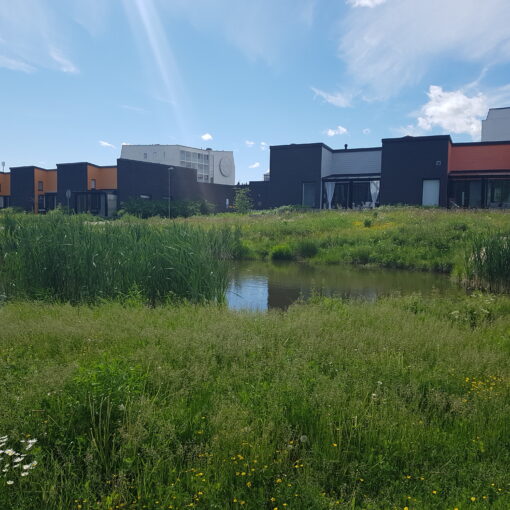
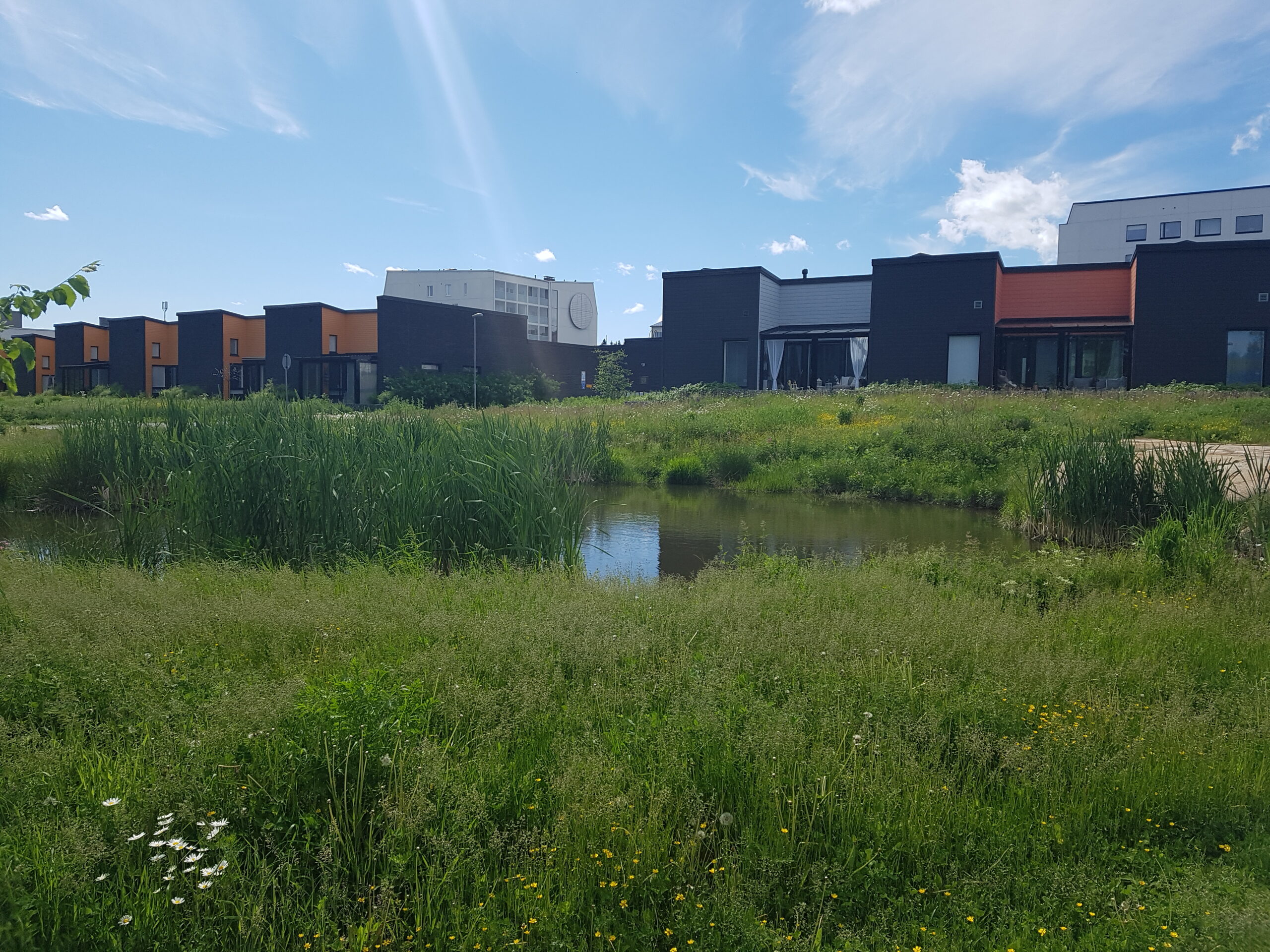
Lappeenranta has been doing climate and environmental work for years but, as in many other municipalities, less effort has been put into protecting biodiversity.
However, the situation is about to change, as Lappeenranta has started to draw up a diversity programme. The groundwork for the programme has already been laid by carrying out a comprehensive survey of nature in the entire municipality of Lappeenranta and of the ecological values and entities that are important and characteristic of the city.
The survey was conducted with enthusiasm and ambition
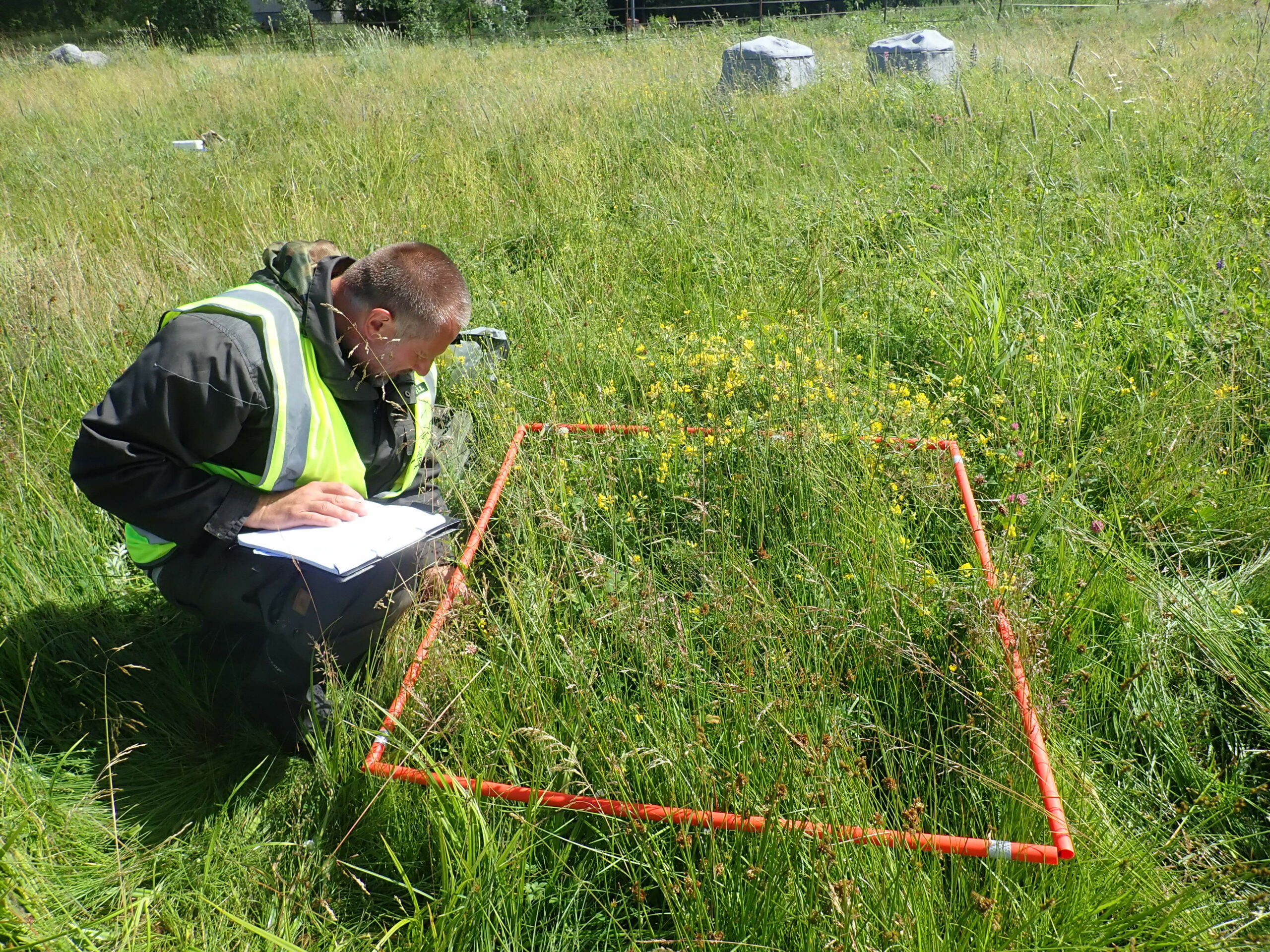
Responsibility for conducting the survey was given to environmental coordinator Anna Vuori, who was eager to accept the challenge. “When the work started, I didn’t know where the survey would take me. I proceeded on the terms of the material. The work required effort, but it was very rewarding,” says Vuori.
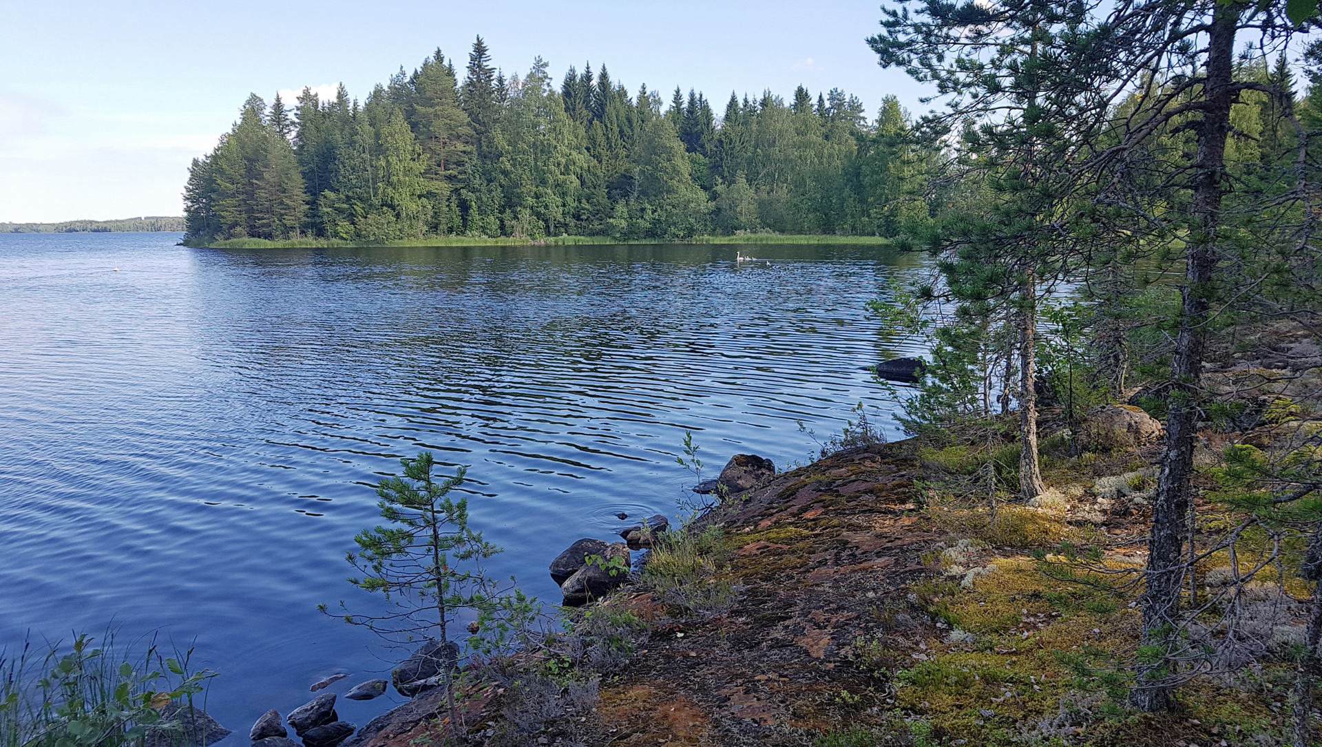
Nature surveys have been carried out in the past as well, but their scope has always been more limited in terms of both content and area. These include nature surveys for urban planning. In contrast, the survey carried out by Vuori was given an ambitious goal: the survey should give an overall picture of Lappeenranta’s nature and its significance as part of the wider nature of southeastern Finland and even of the biodiversity of the whole of Finland.
“I also wanted to highlight conventional biodiversity,” Vuori says.
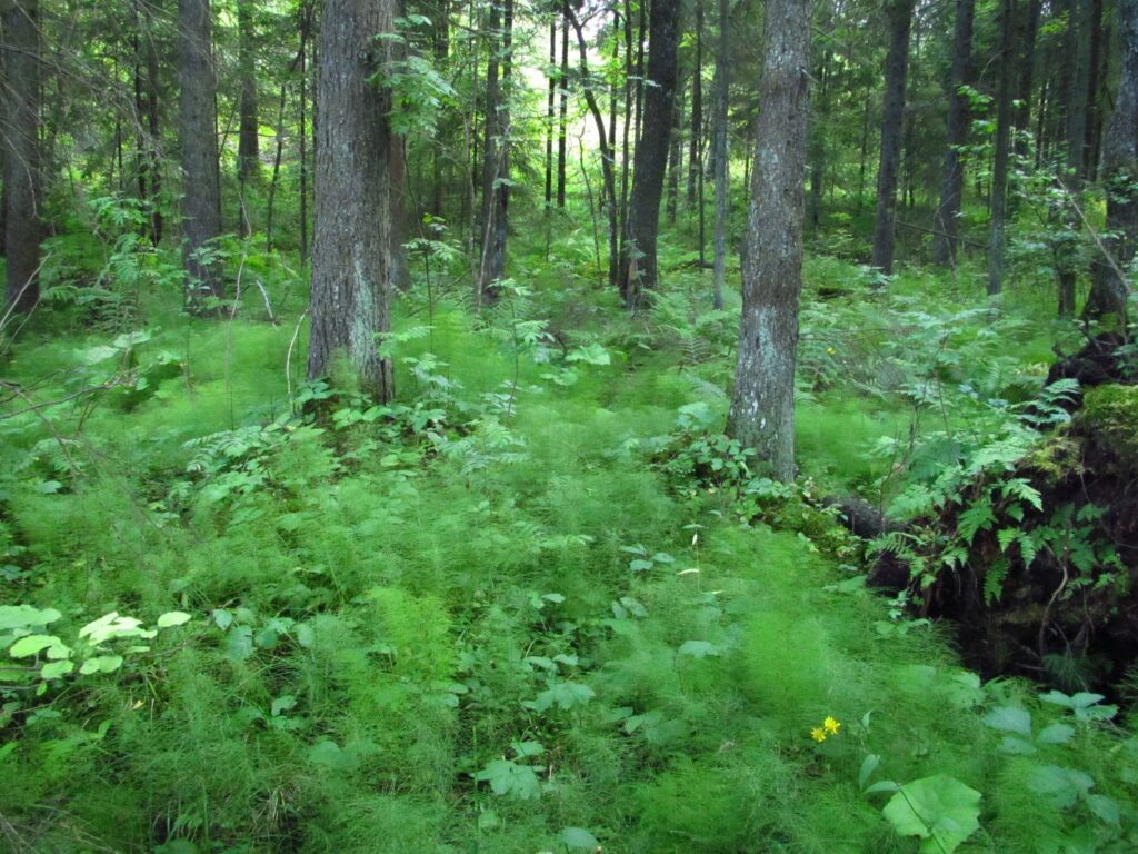
In most nature surveys, only the finest nature sites and species are searched for. It is, of course, important to preserve them, but many values that are important for biodiversity can also be found in more common places and species. – Anna Vuori
Expertise of the party conducting the survey has a key role
Instead of carrying out the survey as field work, all data was compiled from already existing materials. “Over the last decade, there has been a huge increase in open geographic data sets that can be utilised,” says Vuori.
The survey made use of data from the Finnish Environment Institute, the National Land Survey of Finland, the Finnish Forestry Institute and the Natural Resources Institute Finland. Few data on their own provide direct answers regarding natural assets, but a lot of data give some indication of the features that are important for biodiversity.
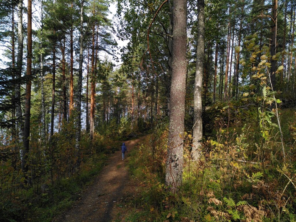
The aim of the survey was to identify ecological structural features and natural assets of different areas by superimposing various geographic data sets. However, interpreting the data requires ecological expertise and knowledge of the area. For example, there are only a few natural bogs left in Lappeenranta, and an undrained bog is a noteworthy site. In Lappeenranta, the indicator species of a good bog may be bog species that are quite common elsewhere. The same applies to forests.
Expert networks were a valuable help in carrying out the study. “I was not always able to interpret the data reliably, but discussions with experts helped advance the survey,” says Vuori.
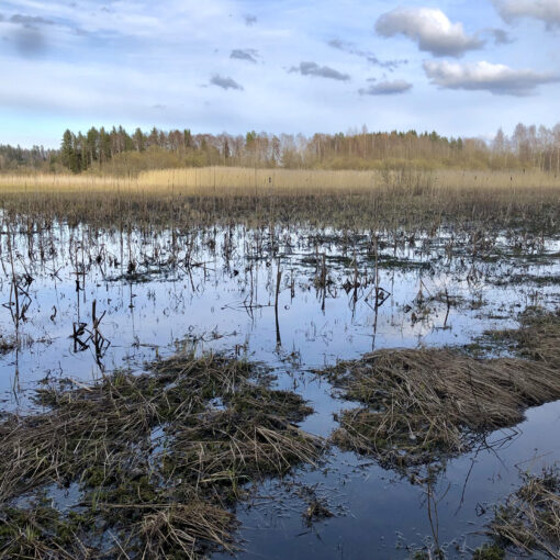
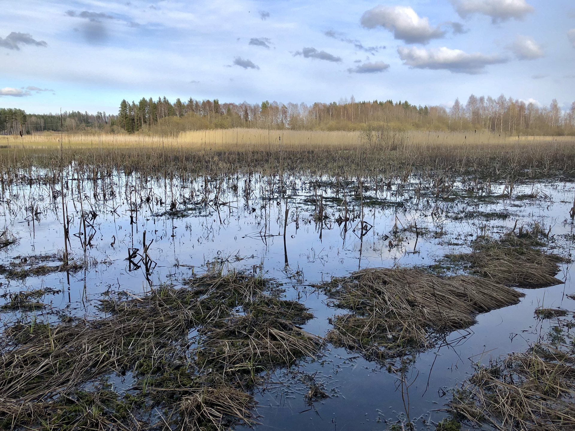
In addition to geographic data sets on biological features, geological data were also important sources of information. Soil maps, for example, show ecological networks, the bottom of which lies in moraine, sand or clay soil layers accumulated during the Ice Age. The Salpausselkä ridge and the bogs formed in the clay soil areas in Konnunsuo are excellent examples of this.
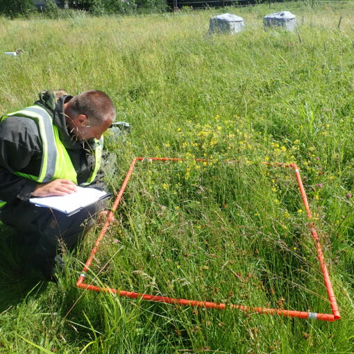
In addition to geographic data sets, species observation data, such as bird, plant and butterfly observations, were used in the survey. Indicator species were used to identify areas with more diverse nature than the average. When using species data, particular attention must be paid to the reliability, accuracy and sufficient timeliness of the observations. “For example, bird observations were cleared of observations made during migration and only observations made during nesting season were examined. This provides more reliable information on which areas still have important habitats for indicator birds,” Vuori explains.
There are also other kinds of distortions associated with species observations, of which Vuori uses owl observations as an example. “Birdwatchers like to go to spot owls where observations of them have previously been made. For this reason, places where no previous observations have been made may remain unknown, even if there might be owls.”
All in all, the outcome of the survey was successful, and it provides a good basis for Lappeenranta’s upcoming biodiversity programme.
The Finnish Natural Heritage Foundation has purchased considerable additional areas of land and increased the size of its existing conservation areas. This […]
Voit etsiä loikkia yhdellä tai useammalla hakusanalla. Haku kohdistuu loikkien sisältöön ja metatietoihin, kuten kategorioihin, asiasanoihin ja sijaintiin. Hakemalla esimerkiksi "ilmastoloikka porvoo" löytyvät kaikki Porvoon kaupungista raportoidut ilmastoloikat.You can search for leaps matching one or more terms. The search targets both content and metadata such as categories, keywords, and location. For example, by searching for "climate leap Porvoo" you will find all the climate leaps reported in the city of Porvoo.